


Easy-to-use mapping software now provides safe routes for cyclists across the city of Oxford and the whole of Oxfordshire. The result is more people than ever getting on their bikes.
The Cyclox mapping project has been a big success — which is especially impressive given that it was set up and run by volunteers. Infotec spoke to Cllr Emily Kerr from Oxford City Council and Robin Tucker, Co-chair of the Coalition for Health Streets and Active Travel (CoHSAT) to learn what was involved…
What prompted the Cyclox mapping project?
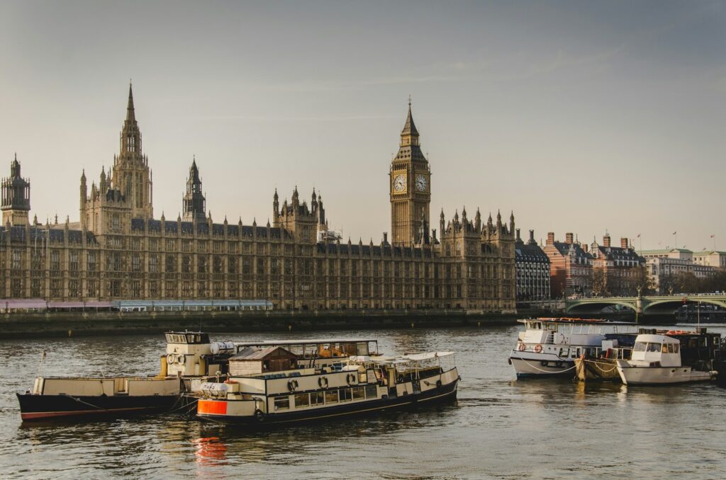
EMILY: A lot of us are really keen on getting more children and inexperienced cyclists on their bikes. But I was at an event with Robin, where a woman talked about her commute from the local park-and-ride to the city centre. She said her journey had just become a lot safer because she’d discovered an off-road cycle route. It has bollards so there’s no through traffic. And I thought, ‘Gosh, doesn’t everyone know that route?’ It runs right past my house!
Cllr Emily Kerr and fellow mapper Danny Yee on a safe cycling route in Oxford, photo (c) Robin Tucker.ROBIN: It soon became obvious that different people in different parts of the city all knew different routes. We thought there had to be a way to bring that knowledge together and give people an easy way to find them.
EMILY: A loose coalition of about 20 or 30 of us working through WhatsApp put together a map. Five of us led on it; I covered East Oxford. We went through a few iterations, initially with lots of different colour-coded bits and categories, which we then decided made it too difficult to use and so simplified. There were also routes we needed to test because none of us had ridden them. That meant going out there, or finding other people who knew those areas. We also worked in schools, asking kids where it was dangerous for them to cycle so we could work out safe routes around that.
Wasn’t this information already available?
ROBIN: There are maps built on an OpenStreetMap base, such as by our friends at cycle.travel, which are really good at providing a cycle route from A to B. But they don’t give you an overall map of the safe routes, as we do. So we compliment what they’re doing: we offer a different way of doing things.
EMILY: But local authorities don’t already have this information. The local cycling and walking infrastructure plans (LCWIPs) they use show the routes that exist and the routes people want to exist. It’s good that there’s a plan but if I’m cycling with a child, I need to know the safe routes available now, not ones that might exist in 10 years’ time. We also needed routes in granular detail and focused on novice and inexperienced cyclists. We focus on safety over the most direct route.
As a cycling advocate, what surprised me about doing this was how much I learned. I know my own area of East Oxford pretty well but the map showed me that if I was going just a couple of kilometres to Headington, or taking my daughter to North Oxford, I might not take the safest route. Now I use the map all the time.
Tell me about the technology involved.
EMILY: We could have built something bespoke, perhaps going through the city or county council, but that would have involved getting funding and approval. It could have taken years. We were keen to crack on with it ourselves, which is why we used Google Maps.
ROBIN: I expect some of your technology-oriented readers will be outraged: ‘Google Maps — really?!’ But we thought long and hard about this. In Oxford, the Venn diagram of cyclists and tech people overlaps a lot. We know a lot of experts on the free, volunteer-run OpenStreetMap and we talked about developing something more customised and robust. But in the end we decided on Google Maps for two important reasons. First, there’s the user dimension: everyone knows Google Maps and already has it on their phone. Secondly, there was the ease of writing the maps. We wanted to crowdsource this and so needed to keep it simple. Once we’ve made someone an editor on our Google Map, they simply draw a line on it and it’s done. There’s no need for coordinates or coding, or having to choose line styles in complicated ways. That was useful in the small group we had mapping the city but proved essential when we scaled things up to 12 different groups in different towns across Oxfordshire. That would have been horrendously complicated using OpenStreetMap, or even UMAP — a very popular platform but one that takes time to learn.
The Oxford Online Cycling Map must have been a success if you’ve expanded across the whole county.
ROBIN: Yes, the city map went live on June 1, 2023. After a year, we’d had 200,000 hits on it — which is fantastic. We’re past 250,000 now.
Seeing that, Emily said it would be great to expand the map. This year is also the 100th anniversary of the Cycling UK group in Oxfordshire and I thought it would be great to tie into that. We began by looking at how many of the market towns we could bring in. We went for those with a population over 6,000, which gave us 20 market towns. I then used the contacts I’ve built up over the past 10 years through the Oxfordshire Cycling Network, speaking to various enthusiasts and campaigners, and we were quickly able to cover 15 or 16 of those towns, with a team of about 60 volunteers. Each group made their own MyMaps on Google. Emily and I gave them quick, 10-minute instructions on things like how we define our categories of ‘car-free routes’ and ‘bikeability level 2 standard’, so we’d be consistent.
EMILY: Bikeability Level 2 is a recognised proficiency, about the level of a competent 11 year-old. We had quite a lot of discussion about the levels we’d use. In the city, our standards were pretty high because there are a lot of designated cycling routes. But outside the city we needed connecting routes, which we show in blue. They’re not ‘safe’ by our definition, in that I wouldn’t take a six year-old cycling there, but they’re the safest route. I’d be happy cycling them myself — just not with a kid.
ROBIN: They’re the next-best alternative routes, so you have that choice. With those definitions and with our team of volunteers, I helped build an Abingdon map and groups in Didcott and Witney built maps there, and so on. It was then a reasonably easy job to import the data from those into our master map. The Oxfordshire Online Cycling Map was launched on July 26, 2024.
EMILY: It wasn’t complete when we launched it, but we wanted something up ready for the school holidays.
ROBIN: And once it was up we could add to it. We now have maps for 18 of the 20 market towns. Using Google Maps means it is easy to update.
EMILY: And we can expand this depending on what local groups might want. Soon after we put up the Oxford City cycling map, we launched an Oxford Online Walking Map as well, in association with Oxford Pedestrians Association. It’s had about 30,000 views so far. It marks kids’ playgrounds, benches and public toilets. It includes the health walks that Oxford City Council organises for local people.
That surely means that these routes and amenities aren’t already marked on Google Maps. You’ve made me think about how that data is gathered, such as by Street View vans driving around taking pictures. Can that mean an unconscious bias towards drivers?
EMILY: Maybe. It’s the kind of thing we often face when campaigning for cycling and active travel.
ROBIN: I’d add that those vans are photographing rather than mapping. And there are sites where you can create your own maps, with photos, using a 360° camera on your helmet or backpack, or on a stick if you’re walking. Those can be really useful: you check the site and can see if the route suggested is a muddy track or a paved cycle path.
How much does a project like this inform the future of such infrastructure? You can now easily see the gaps in the network…
EMILY: As a councillor, it’s really helpful to see where people are going, which routes are safe and which need improving. We’ve shared our maps with the consultants working on the plan to create a ‘Mini Holland’ in East Oxford and can use it to make suggestions about improvements. It’s one of the things we can use. We’ve also got a network of Telraams, which is a device that sits in your window and counts the types of traffic passing.
The map supports what we’re doing in trying to tackle air pollution. The whole point is getting more people to walk and cycle, and statistics show that women often feel less comfortable cycling, especially on main roads. How do we get them and children and people who aren’t confident cyclists to cycle more? The answer is to provide safe, segregated infrastructure — and ensure people know it’s there.
If people outside Oxfordshire want to try what you’re doing, or even to join up to your maps, what should they do?
EMILY: They can do it themselves! We did this all with volunteers. Of course, Robin and I are happy to talk through what we did with anyone who wants to do their own version.
ROBIN: We’ve a PowerPoint we can share. But anyone can do it.
EMILY: I’d love to see more maps like this. Really, we could do with some kind of publicly funded national network along these lines.
Emily and Robin, thank you very much.
In related news:
UK importing record quantities of power, worth £250m each month
Leave a Reply